PKKMB PJSIG 2026: Welcoming a New Generation of Geospatial Professionals
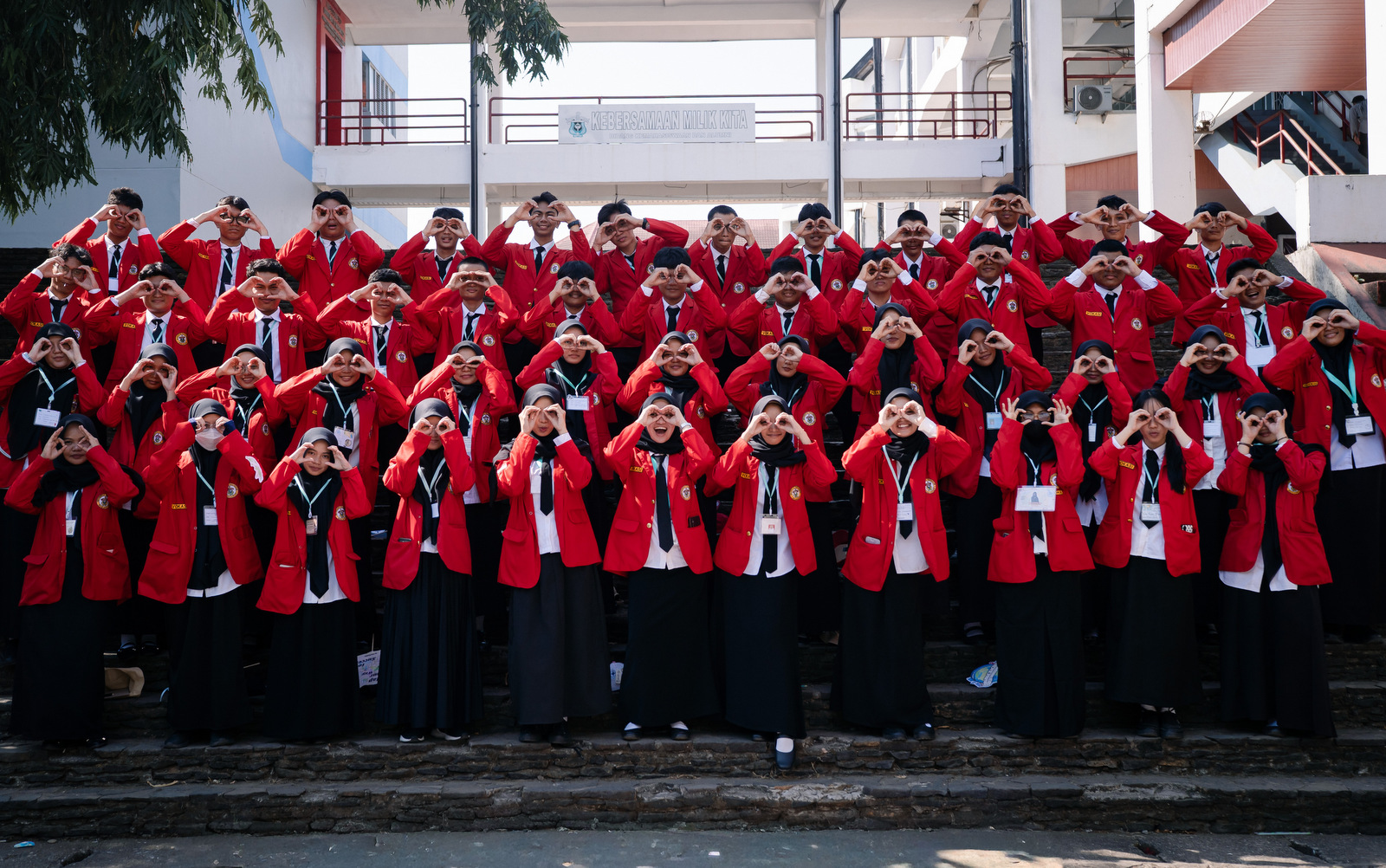
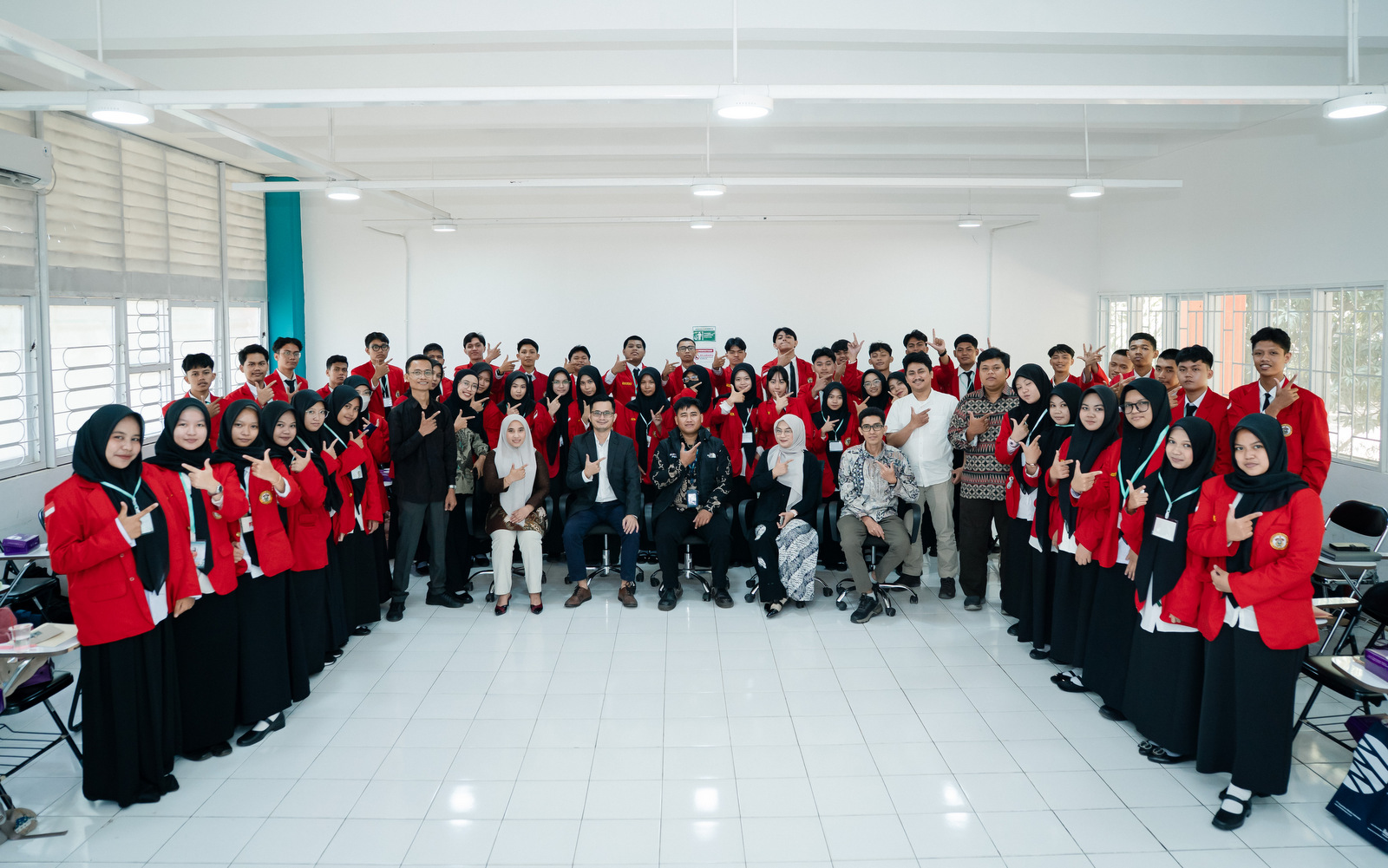
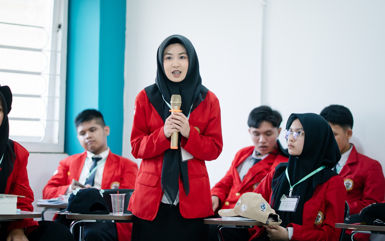
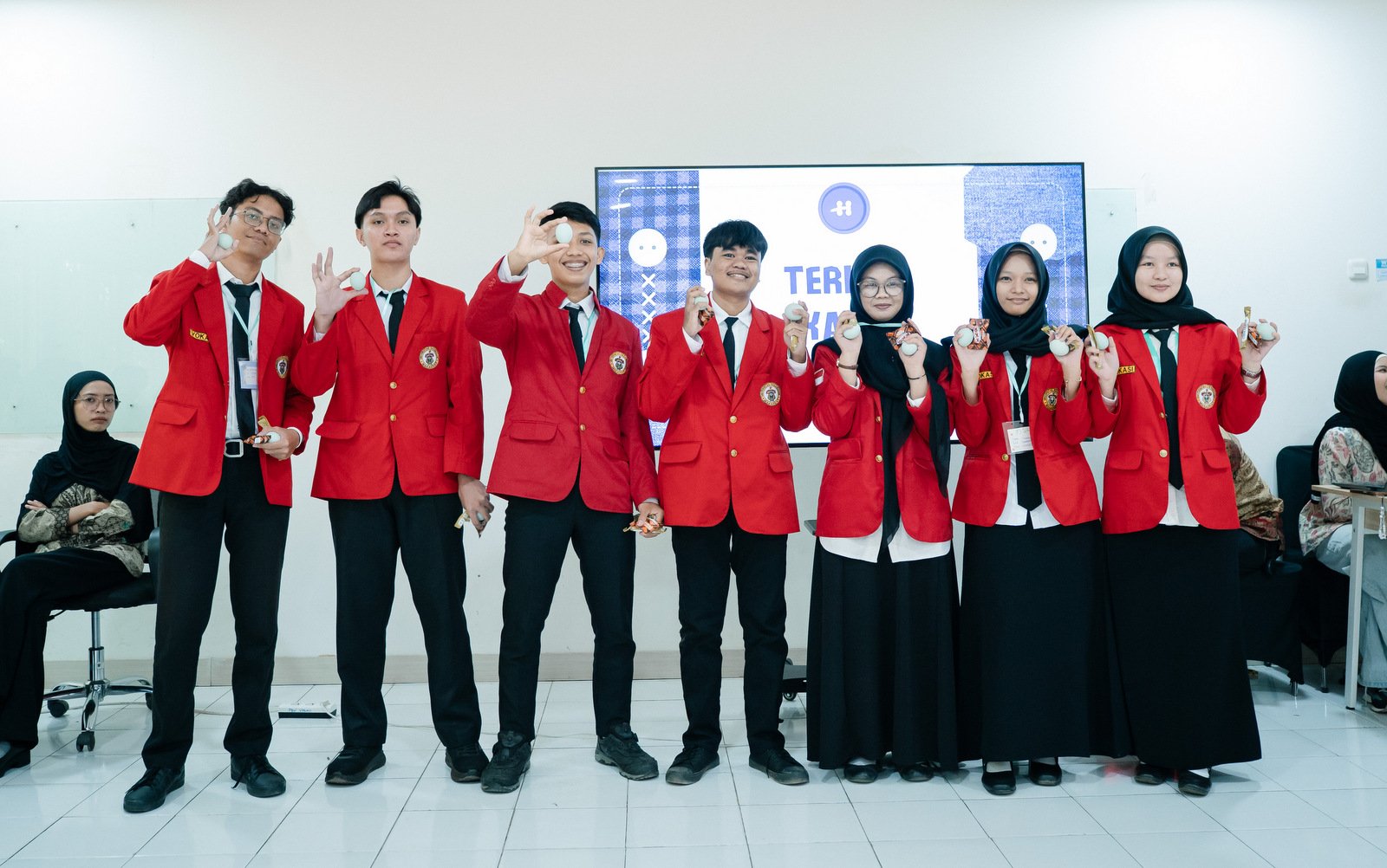
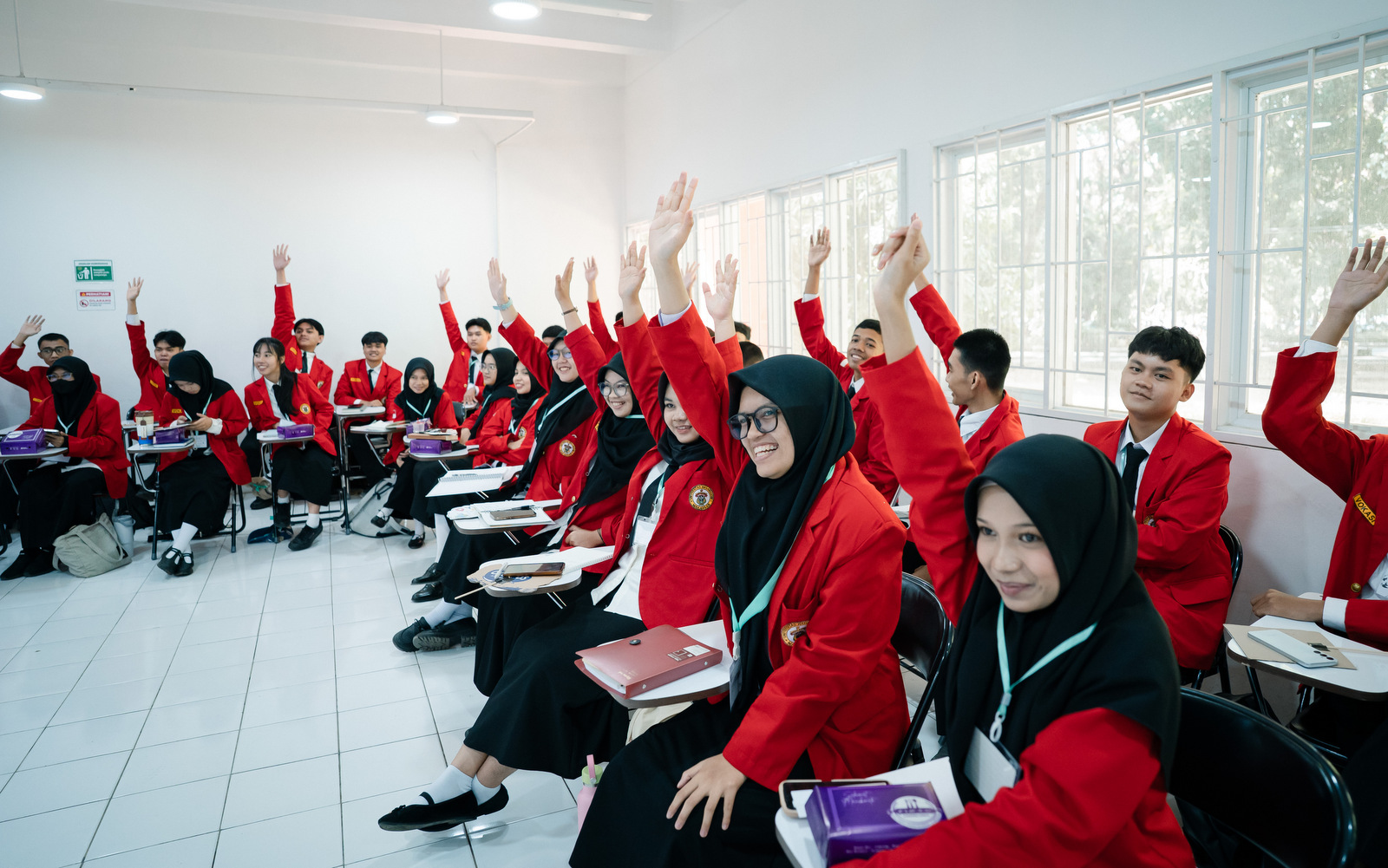
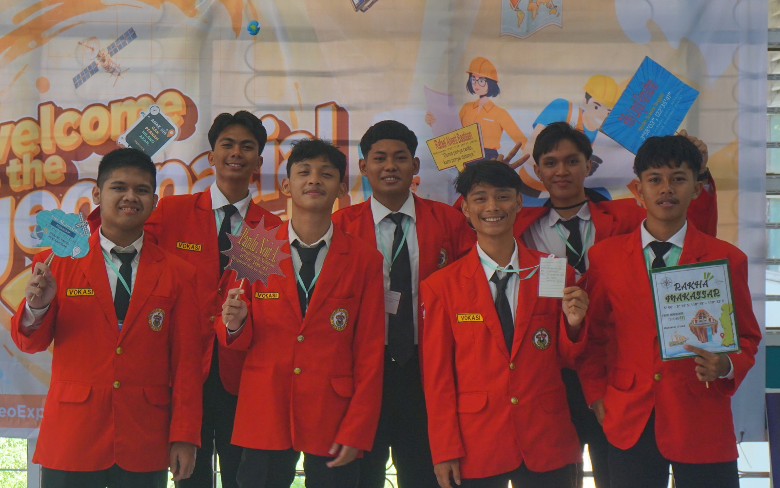
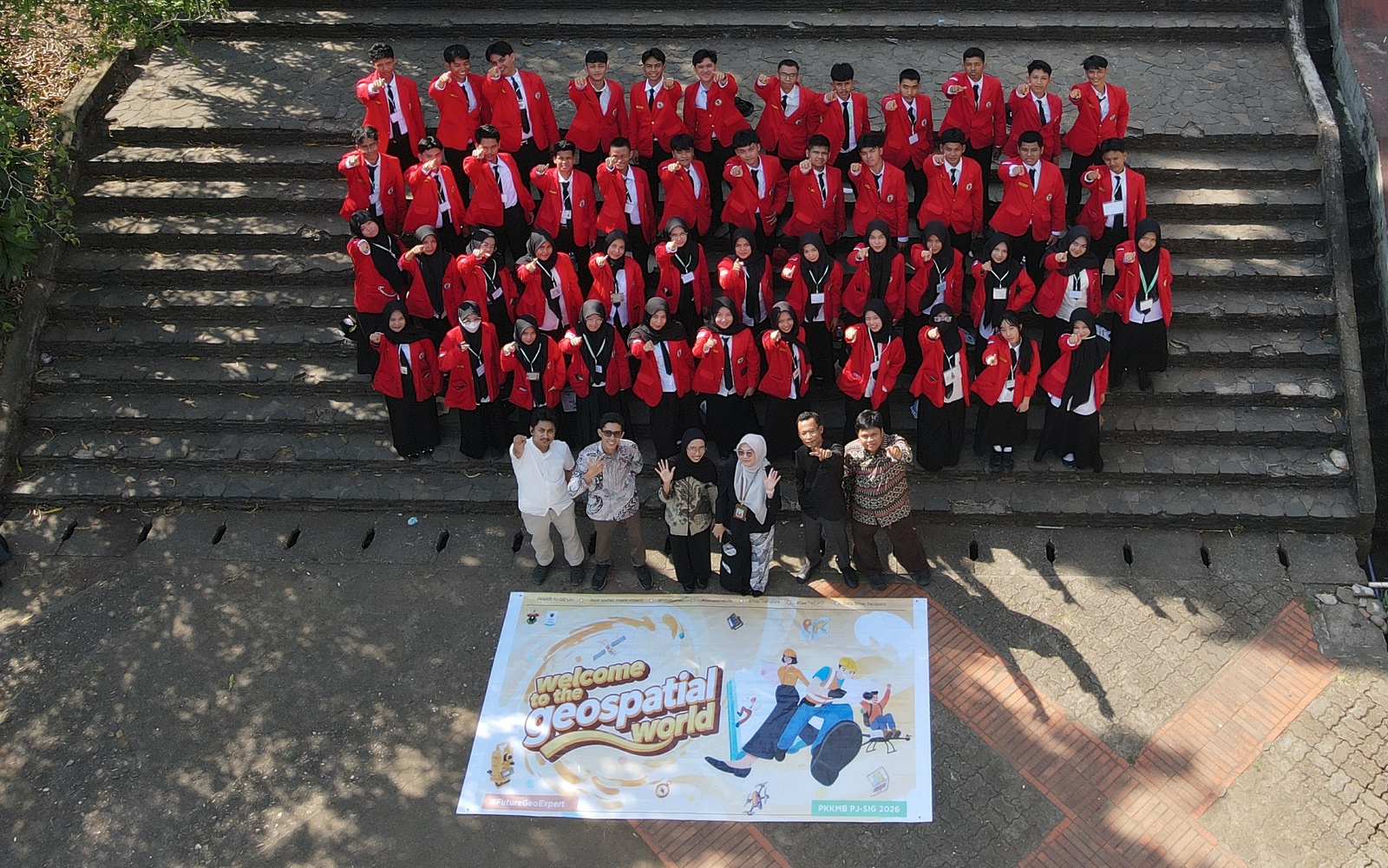
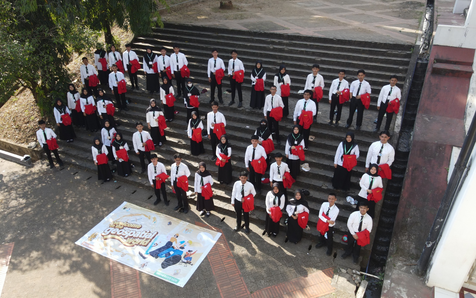
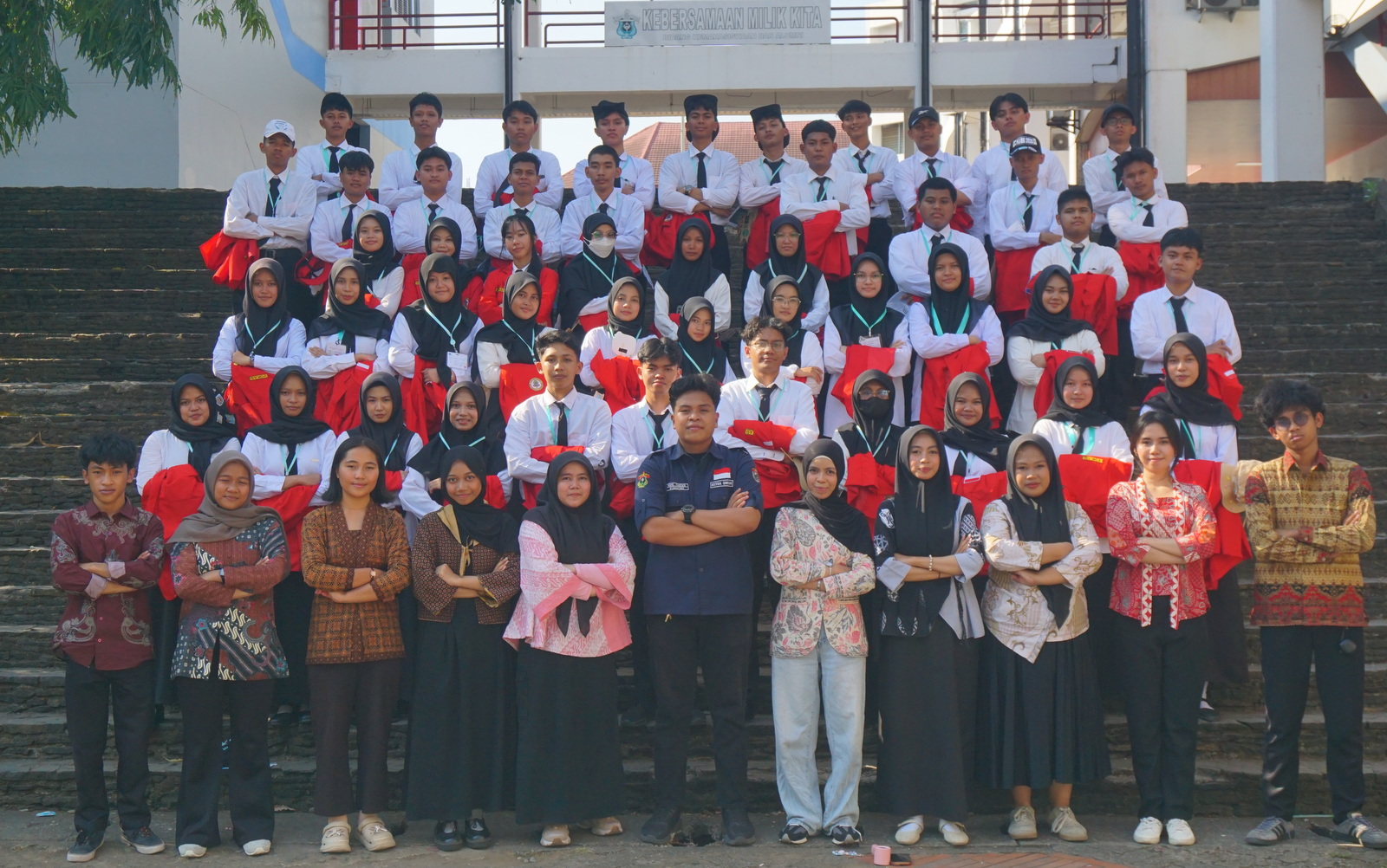
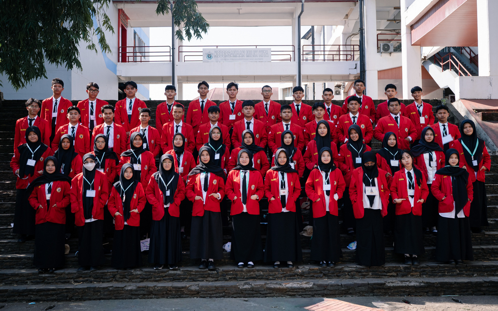
Makassar — The Applied Bachelor’s Program (D4) in Remote Sensing and Geographic Information Systems (PJSIG), Faculty of Vocational Studies, Universitas Hasanuddin, held its 2026 Student Orientation Program (PKKMB) as part of a series of activities welcoming new students for the 2026/2027 academic year.
Carrying the spirit of “Mapping the Future, Sensing the World,” PKKMB PJSIG 2026 marked the beginning of the students’ academic journey, providing an opportunity to become familiar with the program, its vocational education environment, and the field of remote sensing and geographic information systems.
Discovering PJSIG and the Geospatial World
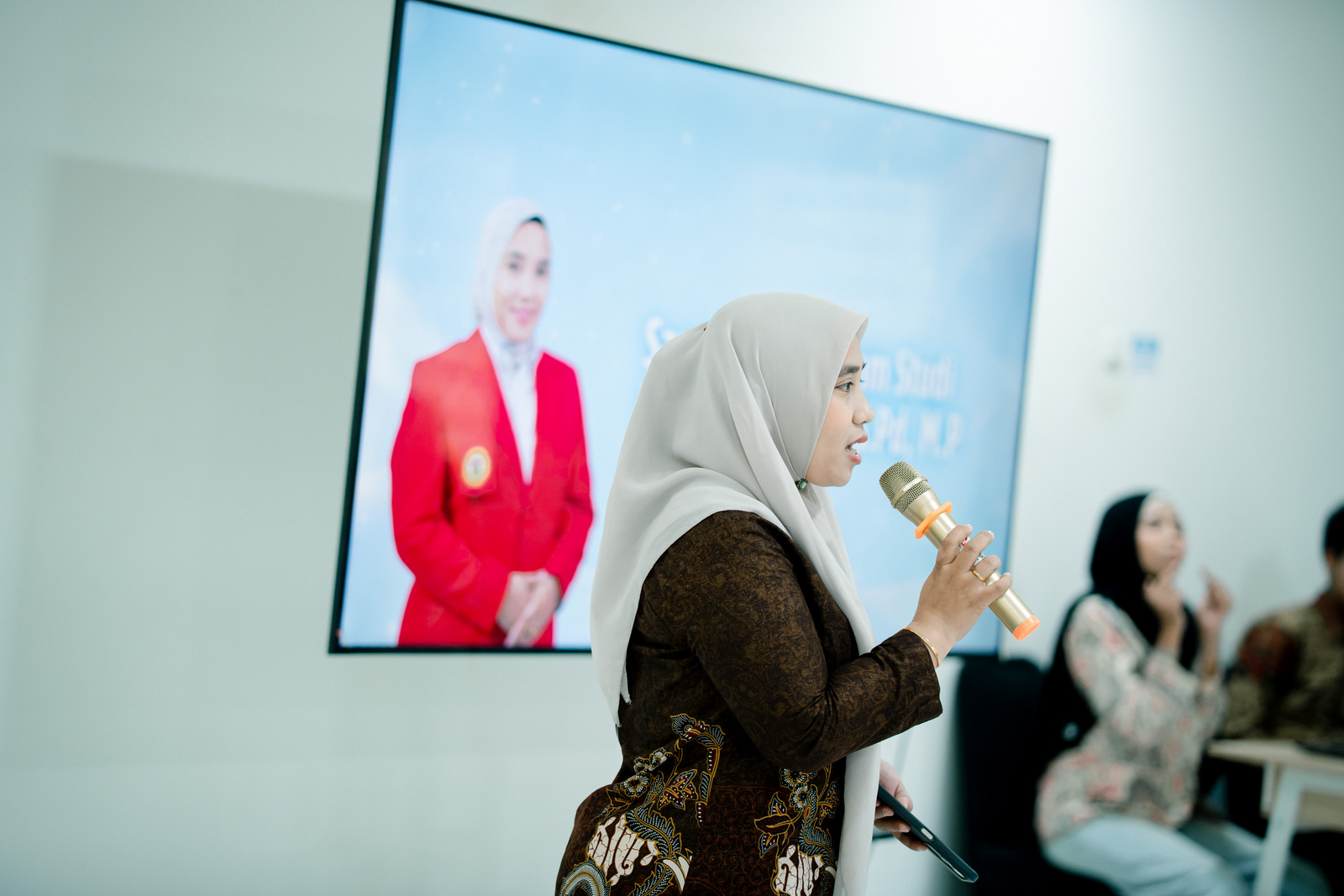
New students were introduced to the PJSIG Study Program profile, learning process, academic environment, and the various competencies they will develop throughout their studies.
As a vocationally oriented study program, PJSIG prepares students not only to understand fundamental concepts and theories but also to develop practical skills in applying geospatial technologies.
Throughout their studies, students will engage with a wide range of technologies and methods, including Geographic Information Systems (GIS), remote sensing, surveying and mapping, Global Navigation Satellite Systems (GNSS), UAV/drone-based mapping, image processing, spatial databases, WebGIS, as well as emerging developments in GeoAI and digital geospatial technologies.
Through these competencies, students are expected to effectively utilize geospatial information to address real-world challenges in areas such as natural resource and environmental management, agriculture, disaster management, spatial planning, regional development, and location-based digital transformation.
“Mapping the Future, Sensing the World”
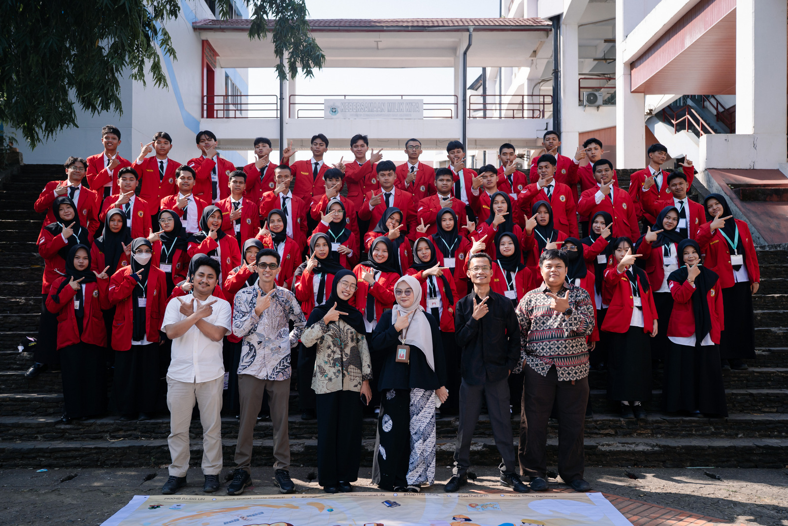
The theme “Mapping the Future, Sensing the World” reflects PJSIG’s commitment to preparing a new generation capable of understanding the world through geospatial data and information while contributing to shaping a better future.
Mapping the Future represents the students’ ability to map, analyze, and develop solutions to a wide range of spatial challenges. Meanwhile, Sensing the World highlights how remote sensing technologies enable students to observe and understand the dynamics of the Earth through satellite imagery, drones, sensors, and various other sources of geospatial data.
This spirit is introduced to students from the very beginning of their academic journey, encouraging them to recognize that the geospatial field goes beyond simply creating maps. It is about transforming location-based data into meaningful information, insights, and solutions that create a tangible impact on society.
Learning Directly from Geospatial Research and Industry Practitioners
BRIN — Research and Innovation Perspective
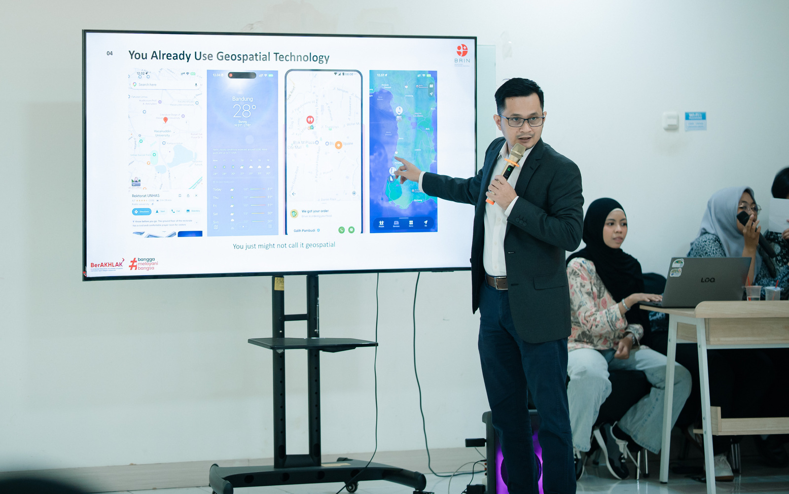
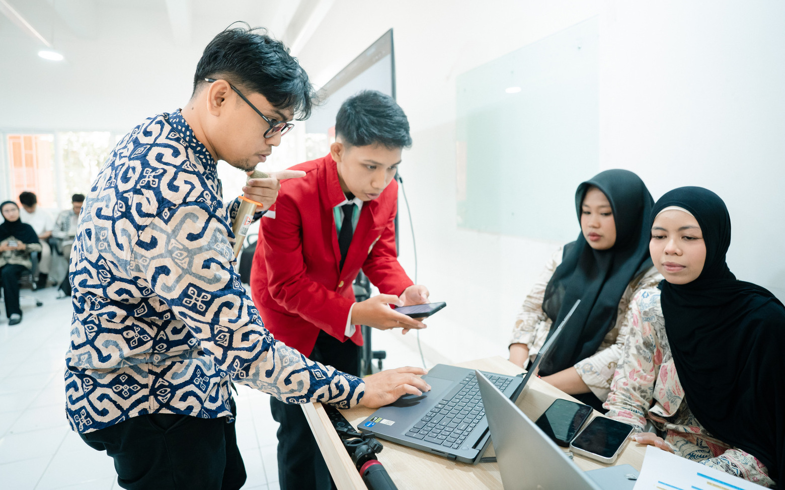
The practitioner from BRIN (National Research and Innovation Agency) introduced students to the important role of research and innovation in advancing geospatial science and technology. The session provided valuable insights into how remote sensing and geospatial information are applied in scientific research to observe, analyze, and better understand various environmental and spatial phenomena.
The session also encouraged students to see geospatial technology as a powerful tool for addressing real-world challenges, including environmental monitoring, natural resource management, disaster-related studies, and sustainable development. Through this exposure, new students gained an early understanding of how the knowledge and skills they will develop at PJSIG can contribute to research, innovation, and evidence-based solutions for society.
NMI Indonesia — Geospatial Industry Perspective
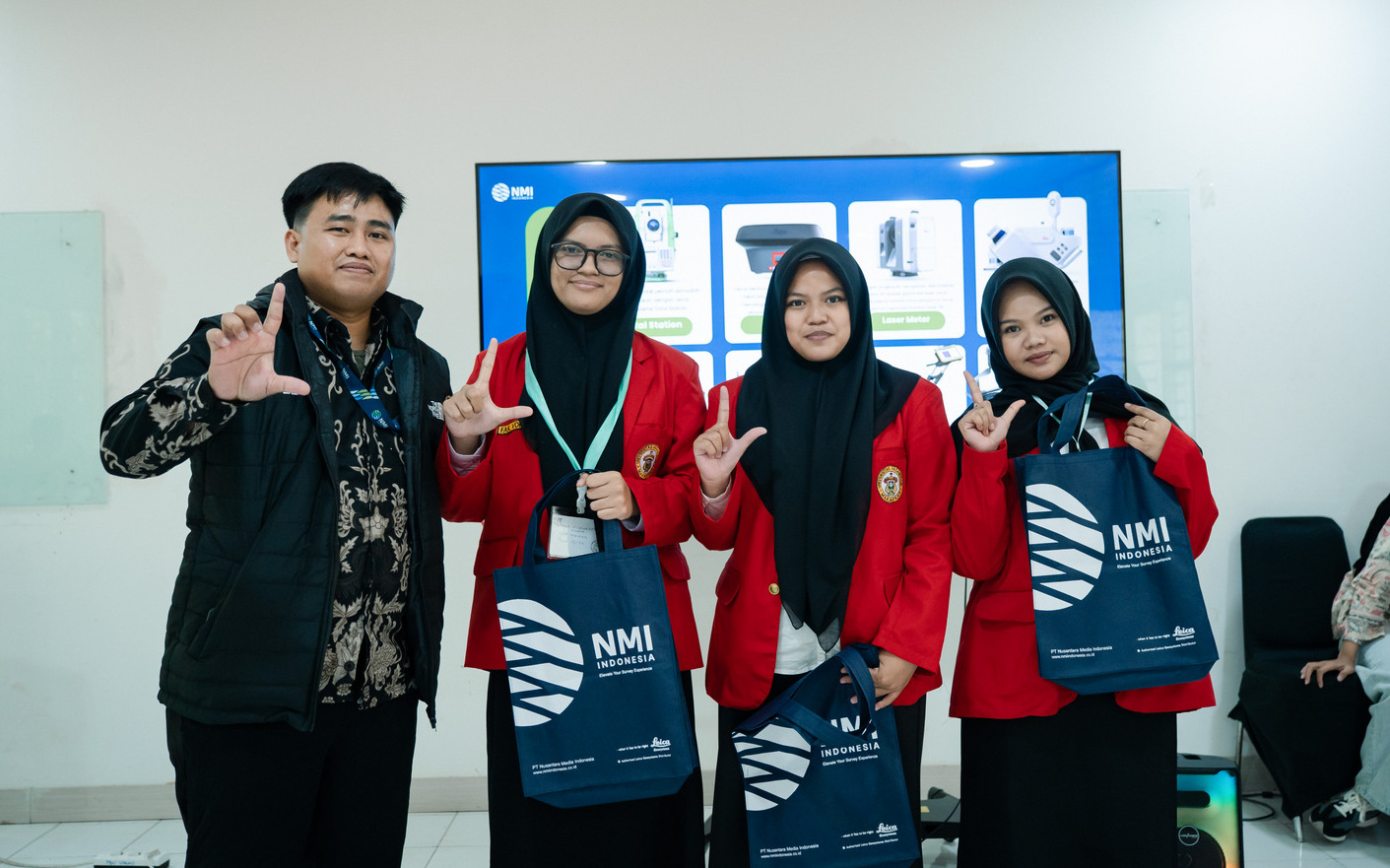
The practitioner from NMI Indonesia shared insights into the development of the geospatial industry and the professional application of surveying and mapping technologies. Students gained an early understanding of emerging geospatial technologies, professional competencies, and career opportunities that they can begin preparing for from the start of their studies.
The participation of research and industry practitioners reflects PJSIG’s commitment to connecting education, research, technological development, and professional practice throughout the students’ learning journey.
The First Step Towards Becoming Geospatial Professionals
PKKMB marks the beginning of the new students’ journey towards becoming future geospatial professionals. Throughout their studies at PJSIG, students are encouraged to continuously develop their technical competencies, communication skills, teamwork, creativity, professionalism, and ability to adapt to rapidly evolving technologies. Students are also encouraged to broaden their experience through applied projects, research, competitions, professional certifications, internships with industries and relevant institutions, as well as national and international collaboration opportunities.
Through PKKMB PJSIG 2026, the Remote Sensing and Geographic Information Systems Study Program, Faculty of Vocational Studies, Universitas Hasanuddin, warmly welcomes all new students to begin their academic journey with curiosity, enthusiasm, and a passion for exploring the rapidly evolving world of geospatial technology.
Welcome to PJSIG, the new generation of geospatial professionals.