Community Service Program of PJ-GIS: Participatory Mapping for Environmental Sustainability of the Balantaeng Watershed
Community Service Program of PJ-GIS: Participatory Mapping for Environmental Sustainability of the Balantaeng Watershed
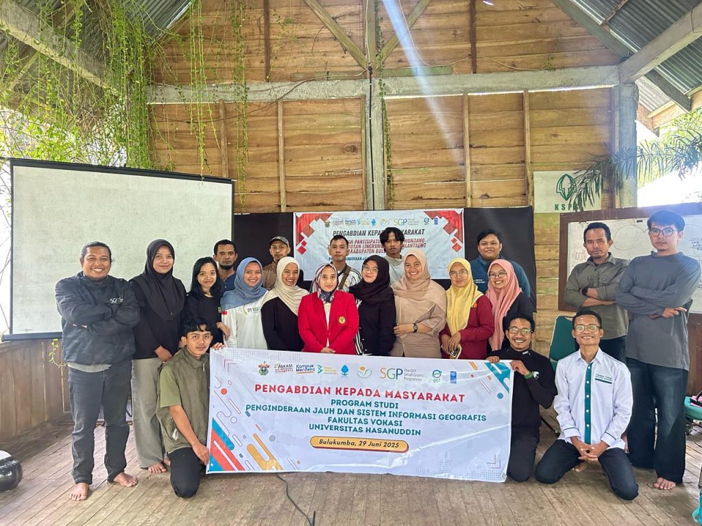
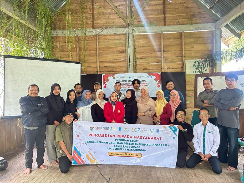
Bulukumba, June 29, 2025 – The Remote Sensing and Geographic Information Systems (PJ-GIS) Study Program, Faculty of Vocational Studies, conducted community service in Salassae Village, Bulukumpa District, Bulukumba Regency. This activity carried the theme "Participatory Mapping to Support Environmental Sustainability of the Balantaeng Watershed" and aimed to increase the capacity of the team, Balang Institute partners, and the community in utilizing spatial technology for environmental monitoring.