
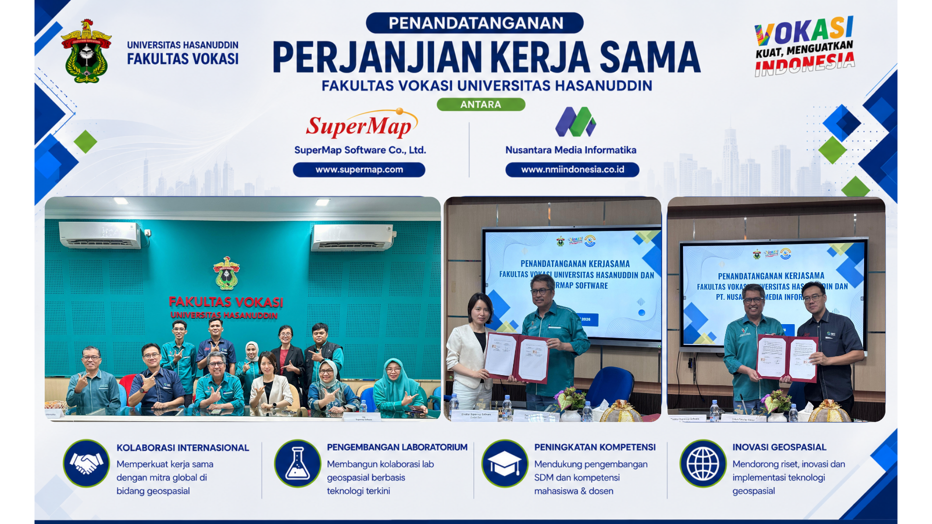
Collaboration Agreement Between the Vocational Faculty and SuperMap and PT. NMI
Hasanuddin University Vocational Faculty Establishes International Collaboration with SuperMap Software Co., Ltd. and PT Nusantara Media Informatika
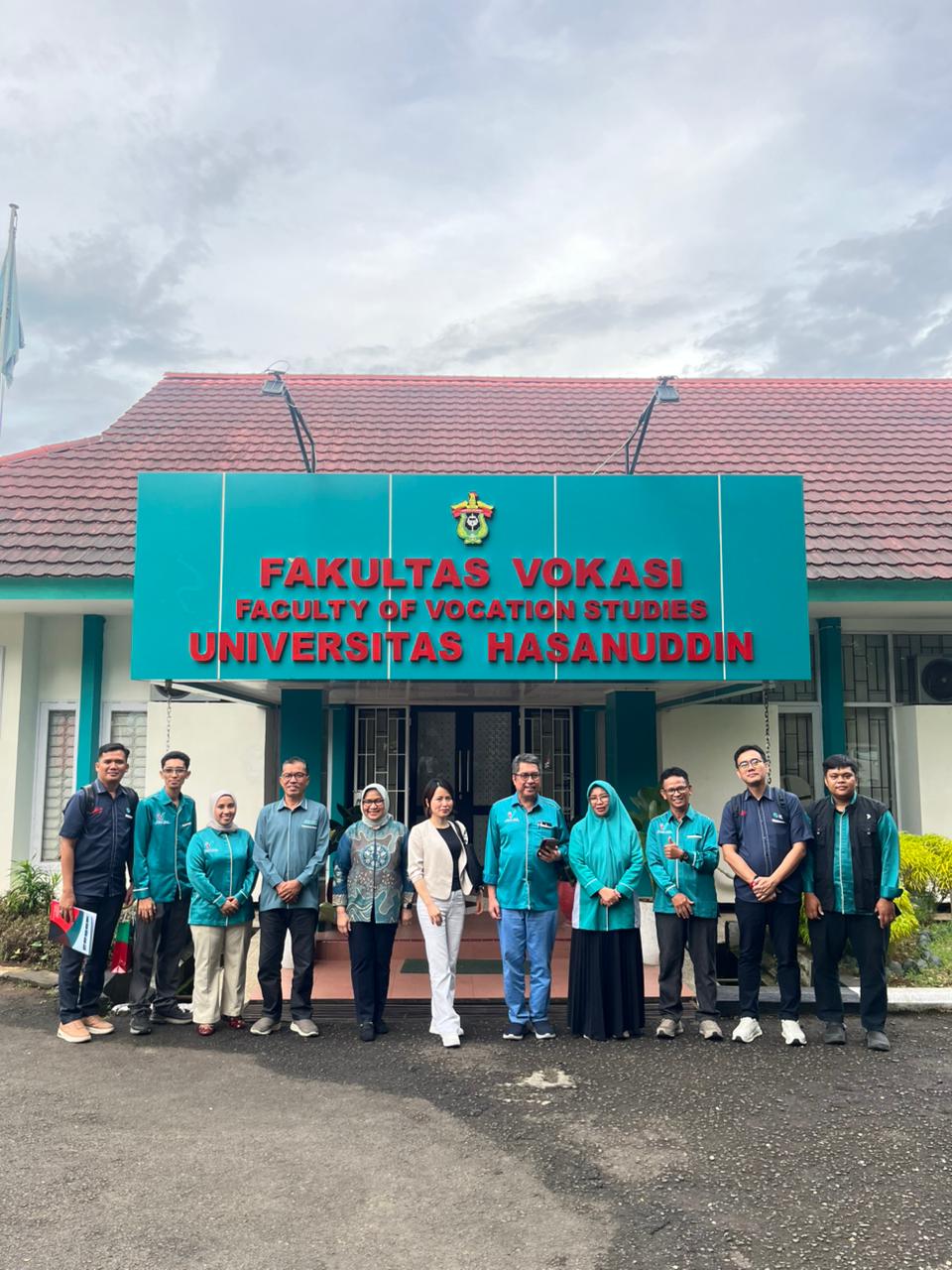
Makassar — The Vocational Faculty of Hasanuddin University officially signed a cooperation agreement with SuperMap International and PT Nusantara Media Informatika (NMI) on Tuesday, May 12, 2026, at the Meeting Room of the Vocational Faculty, Hasanuddin University. This activity represents a strategic step toward strengthening collaboration in education, geospatial technology development, and the enhancement of competencies for students and lecturers, particularly within the Remote Sensing and Geographic Information Systems Study Program (PJSIG).
The event was attended by the leadership of the Vocational Faculty of Hasanuddin University, lecturers, and representatives from industry partners. Representing SuperMap International were Evelyn Sun, General Manager of SuperMap International, and Della Monica, GIS Engineer of SuperMap International. PT Nusantara Media Informatika was represented by Widodo, Director of PT Nusantara Media Informatika. Also attending the event was Gilang Widya Wisaksana, Country Head of Sales of PT Leica Geosystems Indonesia.
This cooperation agreement aims to support the development of the university’s tridharma through collaboration in education, research, training, certification, human resource development, and the implementation of industry-based geospatial technology. In addition, this partnership is expected to open opportunities for internships, laboratory development, and capacity building for students in facing the growing demands of the geospatial industry and workforce.
During the meeting, SuperMap International and Leica Geosystems Indonesia also expressed their commitment to supporting the development of the PJSIG Study Program through the establishment of a collaborative geospatial laboratory with the Vocational Faculty of Hasanuddin University. This collaboration is expected to provide learning facilities equipped with the latest technology, strengthen practical learning and student research, and support innovation development in the fields of remote sensing and geographic information systems.
The Dean of the Vocational Faculty of Hasanuddin University, Prof. Dr. Ir. Muh. Restu, MP., stated that collaboration with international and national partners is part of the faculty’s effort to provide education that is adaptive to technological advancements and industry needs.
Through this collaboration, the Vocational Faculty of Hasanuddin University hopes to expand its strategic partnership network and strengthen the position of the PJSIG Study Program as one of the leading vocational study programs in remote sensing and geographic information systems in Indonesia.