
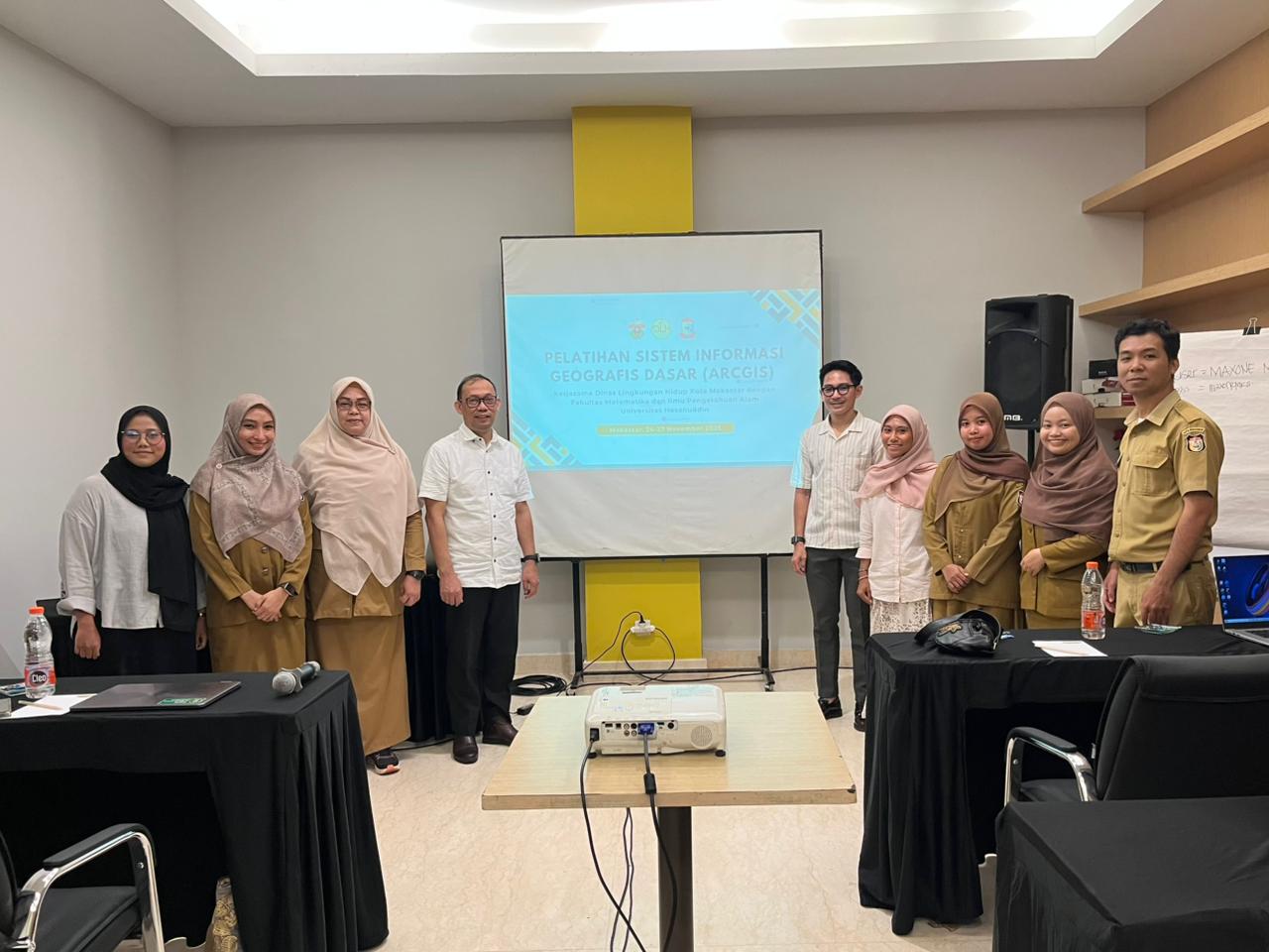
GIS Training in Collaboration with the Makassar City Environment Agency
Makassar, 24–27 November 2025 – The Department of Geophysics, Faculty of Mathematics and Natural Sciences (FMIPA), Hasanuddin University (Unhas), once again organized a Geographic Information System (GIS) training programme in collaboration with the Makassar City Environmental Agency. The activity was conducted over four days, from 24 to 27 November 2025, and was attended by participants from various fields related to environmental management. This training programme served as a collaborative effort to improve participants’ capabilities in utilizing geospatial technology, particularly in supporting technical work within government institutions.
The training was held in Makassar City with the main focus on strengthening participants’ understanding and skills in processing and analysing spatial data. During the initial sessions, participants were introduced to the basic concepts of GIS, including how the system works and the key components involved. The programme then continued with more practical materials such as data processing, digital mapping, and spatial-based regional analysis. The training approach was designed progressively so that participants could follow each session effectively, including those who were new to GIS.
Throughout the programme, participants not only received theoretical explanations but also directly practiced using GIS software. They were guided to process real environmental data related to conditions in Makassar City. Through this approach, participants gained a deeper understanding of how spatial data can be applied in real situations, ranging from regional mapping to the analysis of environmental changes occurring over time.
One of the main highlights of this training was the application of GIS in supporting decision-making processes. Participants were introduced to case studies commonly encountered in the field, such as environmental quality monitoring, management of pollution-prone areas, and identification of land-use changes. Through these exercises, participants were able to directly observe how spatial data can provide clearer and more measurable insights for determining appropriate actions and policies.
The collaboration between the Department of Geophysics FMIPA Unhas and the Makassar City Environmental Agency played an important role in this activity. This partnership demonstrated that knowledge developed within academic institutions can be directly applied to address real-world challenges. On the other hand, government institutions also gained the opportunity to enhance the capacity of their human resources in utilizing increasingly important geospatial technologies.
In addition to the training sessions, the programme also included interactive discussions between instructors and participants. During these sessions, participants were encouraged to share challenges they encountered in their daily work. These issues were then discussed collectively to identify solutions that could be implemented with the support of GIS technology. The open discussion atmosphere made the activity not only instructional in nature but also a collaborative learning platform.
Through this training programme, participants are expected to become more confident in using GIS as a supporting tool in their professional work. Beyond understanding theoretical concepts, they are also expected to be capable of applying GIS directly to various needs, particularly those related to environmental management in Makassar City.
In the future, activities such as this are expected to continue on a sustainable basis. In addition to improving technical skills, the programme also strengthens the relationship between academic institutions and government agencies. Through strong collaboration, environmental management efforts can be carried out more effectively, data-driven, and in accordance with field requirements.