
GPR Method Field Practicum: Geophysics Students 2024 Utilities Identification
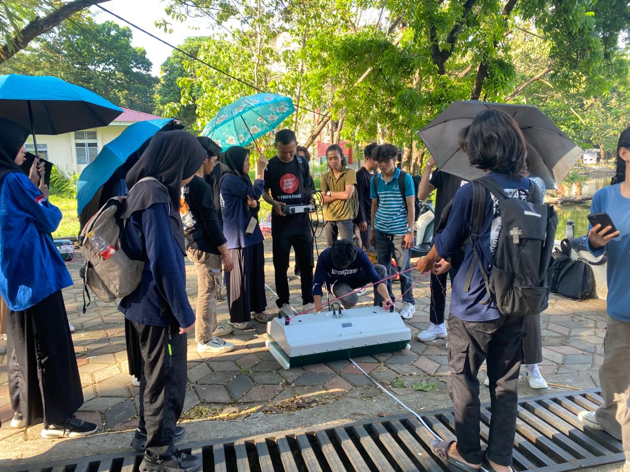
Makassar, 18 April 2026, Geophysics students from the 2024 cohort conducted a field practicum using the Ground Penetrating Radar (GPR) method as part of a practice-based learning activity. This activity was carried out to deepen students’ understanding of the application of geophysical methods in identifying subsurface conditions directly in the field.
The practicum was conducted in the Makassar area with the primary focus on subsurface data acquisition using GPR instruments. The purpose of this activity was to provide students with hands-on experience in operating the equipment, carrying out data acquisition, and understanding the interpretation process of measurement results. By directly engaging in fieldwork, students were expected not only to understand theoretical concepts but also to observe how this method is applied in real conditions.
During the practicum, students carried out measurements to detect various underground targets. The main focuses of the activity included identifying underground utilities, tracing drainage channels, and analysing the slope of subsurface soil layers. These targets were selected because they are commonly encountered in applied geophysical work, particularly in civil engineering and environmental applications.
The GPR method used in this practicum operates based on the principle of electromagnetic wave reflection. Waves emitted by the instrument propagate into the ground and are reflected back when encountering objects or layers with different physical properties, especially differences in dielectric constant values. From these reflections, students were able to obtain an overview of subsurface structures, including the depth and shape of detected objects.
During the data acquisition process, students also learned how to determine appropriate acquisition parameters, such as antenna frequency settings, survey speed, and line spacing. Determining these parameters is an important aspect because it greatly affects the quality of the resulting data. High-quality data facilitates the interpretation process and improves the accuracy of analysis results.
In addition, this activity also trained students to work collaboratively in field teams. Each group had specific roles, ranging from instrument operators and data recorders to supervisors overseeing the survey process. Good coordination became essential to ensure that data acquisition could be carried out smoothly and efficiently.
After the data acquisition process was completed, students were guided in processing and interpreting the measurement data. This stage became a crucial part of the practicum because it was through this process that subsurface information could be understood and analysed further. Students learned to identify reflection patterns indicating the presence of certain objects and to distinguish between different soil layers.
Through this field practicum, students not only gained technical experience in operating GPR instruments but also developed an understanding of the overall workflow of geophysical methods, starting from planning and data acquisition to interpretation. This experience serves as valuable preparation for students entering professional fields, particularly in exploration, engineering, and environmental sectors.
With the implementation of this activity, it is expected that Geophysics students from the 2024 cohort will improve both their practical skills and analytical abilities. Field practicums such as this also play an important role in developing a more comprehensive understanding, enabling students not only to master theoretical concepts but also to apply them directly in real-world field conditions.