
IPB Downstream Research Feasibility Study: Precision Village Data
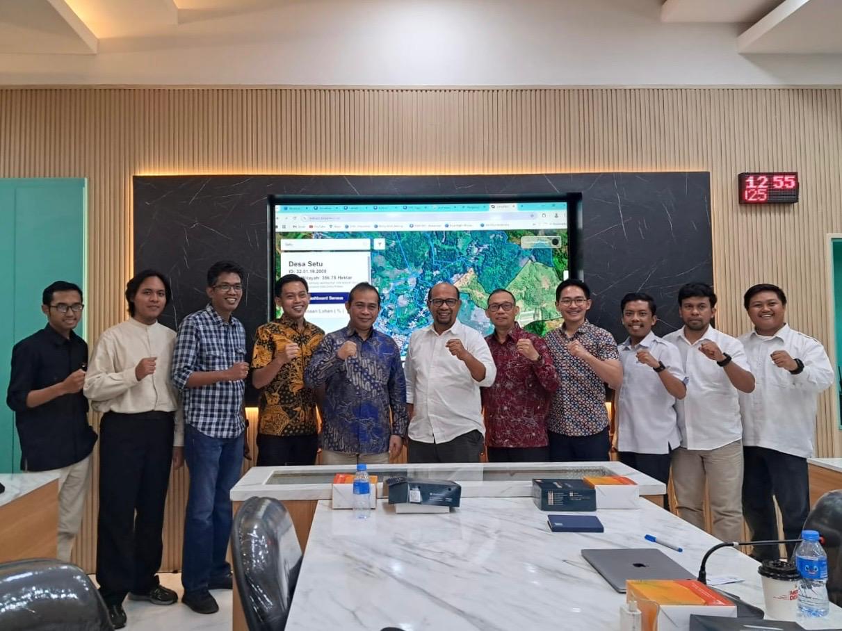
October–December 2025, the Department of Geophysics, Faculty of Mathematics and Natural Sciences (FMIPA), Hasanuddin University, participated in the IPB Downstream Research Pre-Feasibility Study focusing on the development of Precision Village Data. The programme was conducted over a three-month period, from October to December 2025, as part of the initial stage in assessing the potential for research downstreaming that could be directly implemented to support data-driven development at the village level.
This programme is an initiative focused on developing an accurate, integrated, and highly precise village database. In the context of regional development, the availability of complete and valid data is an important aspect in supporting planning processes, decision-making, and the evaluation of development programmes. Therefore, Precision Village Data was introduced as an approach that combines field data collection with the utilization of geospatial technology to produce more comprehensive village information.
Throughout the programme, the involved teams carried out various stages of preliminary assessment, ranging from identifying data requirements, designing information collection frameworks, to evaluating the most suitable methods for developing the village data system. The approach used did not only examine administrative data but also considered social, economic, environmental conditions, as well as the resource potential of each village.
The involvement of the Department of Geophysics FMIPA Hasanuddin University in this programme is closely related to its expertise in spatial data analysis and geospatial technology. Through this expertise, the Department contributed to the collection, processing, and analysis of data related to regional characteristics. The resulting spatial information can provide more detailed insights into village conditions, including land use, facility distribution, environmental conditions, and regional development potential.
In addition, the use of scientific approaches in this programme enabled the collected data to achieve a higher level of accuracy compared to conventional methods. Through the integration of spatial and non-spatial data, the results obtained not only visually represent regional conditions but also provide deeper information for analytical purposes.
This Pre-Feasibility Study also served as a platform for interdisciplinary collaboration in supporting the development of applied research. Beyond academic purposes, the results of the study are expected to provide tangible benefits to communities, particularly in supporting village development that is more targeted and aligned with local needs.
Through this programme, participants and involved teams gained valuable experience in applying scientific knowledge to address real challenges in the field. This demonstrates that research development does not end at scientific publication, but can also be directed towards downstream implementation so that research outcomes can be directly utilized by communities and government institutions.
With the implementation of this programme, it is expected that the preliminary study results will serve as the foundation for the next stages of research downstreaming initiatives. The Precision Village Data System developed in the future is expected to support data-driven development policies, enabling regional planning and management processes to be carried out more effectively, efficiently, and accurately.
In the future, collaborations such as this are expected to continue growing as a form of university contribution to national development. Through the proper utilization of geospatial technology and data analysis, data-driven village development can be implemented in a more systematic and sustainable manner.