
LiDAR Survey Collaboration in the Ancient Caves Area of the Maros-Pangkep Geopark with Professor Josaphat and the Academic Community of Hasanuddin University
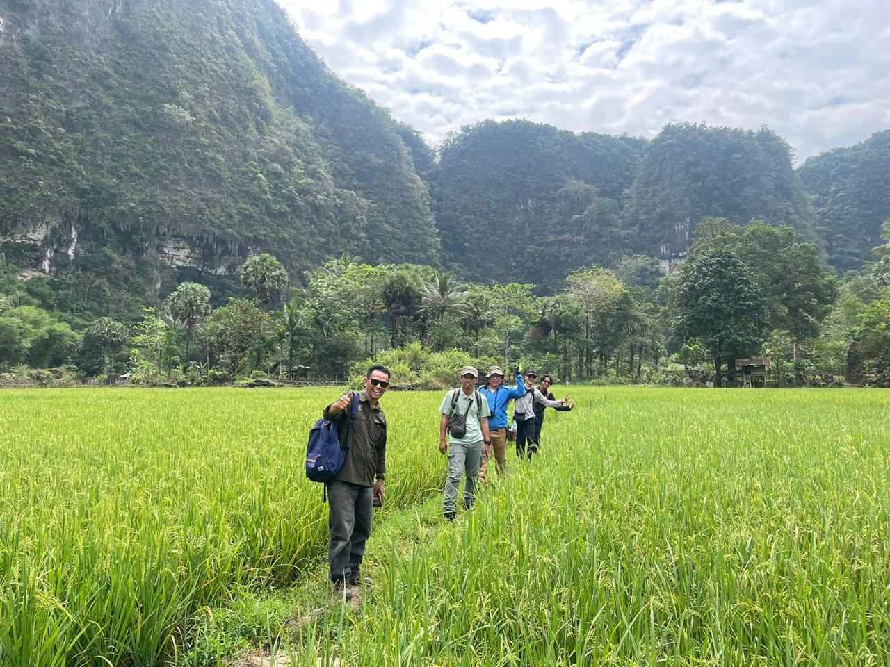
Maros-Pangkep, July 9, 2025 — A LiDAR (Light Detection and Ranging) survey was carried out in the prehistoric cave area of the Maros-Pangkep Geopark by a collaborative team consisting of the Geophysics Department of the Faculty of Mathematics and Natural Sciences, Hasanuddin University (Unhas), Professor Josaphat from Chiba University, and the Departments of Geology and Archaeology of Unhas. This activity is part of an interdisciplinary research collaboration aimed at producing more detailed, accurate, and meaningful mapping of prehistoric landscapes for both scientific purposes and conservation efforts.
The survey was conducted in the Maros-Pangkep karst region, which has long been recognized as one of the most significant areas in terms of geological and archaeological value, not only in Indonesia but also globally. The region is home to numerous prehistoric caves that preserve evidence of early human activities, such as cave paintings and various archaeological findings. In addition, the complex karst landscape, characterized by limestone hills, cave systems, and underground drainage networks, makes this area both fascinating and challenging to study.
In this activity, LiDAR technology was utilized to obtain high-resolution topographic and surface morphology data. This method works by emitting laser pulses toward the ground from a sensor and recording the reflected signals to produce detailed three-dimensional models. One of the main advantages of LiDAR is its ability to penetrate vegetation gaps, allowing researchers to capture ground surface conditions even in densely forested areas. This capability is particularly useful in mapping karst terrains that are often difficult to access.
The data collected from the survey was then processed and analyzed by the research team to identify various important features. These include landforms, drainage patterns, geological structures, and potential archaeological sites that have not been previously documented. With this approach, the identification process becomes more efficient compared to conventional methods, which are often time-consuming and limited in spatial coverage.
This activity involves multiple disciplines working in close collaboration. The Geophysics team is responsible for data acquisition and processing, including initial interpretation of the mapping results. The Geology team then analyzes rock formations and karst development processes to better understand the geological dynamics of the area. Meanwhile, the Archaeology team uses the data to identify potential prehistoric sites and examine their cultural context. The presence of Professor Josaphat adds significant value, particularly in the application of remote sensing technology and the development of more advanced and efficient survey methods.
Beyond data collection, this survey also serves as an initial step for more in-depth future research. The collected data is expected to become a foundation for various scientific studies in both geoscience and archaeology. Furthermore, the results may support geopark management planning, including conservation efforts and the development of educational tourism.
Through this initiative, it is expected that collaboration between national and international institutions will continue to grow and strengthen. The use of technologies such as LiDAR demonstrates that modern research approaches not only focus on data acquisition but also emphasize environmental sustainability. Therefore, the Maros-Pangkep Geopark is not only a site for research but also a valuable heritage that must be preserved and utilized responsibly for future generations.